QAX: An Innovative Tool for Quality Assurance in Ocean Mapping


An open-source project – jointly steered by AusSeabed, NOAA OCS and UNH CCOM – has recently released the first version of QAX, an innovative tool to facilitate quality assurance of seabed mapping data.
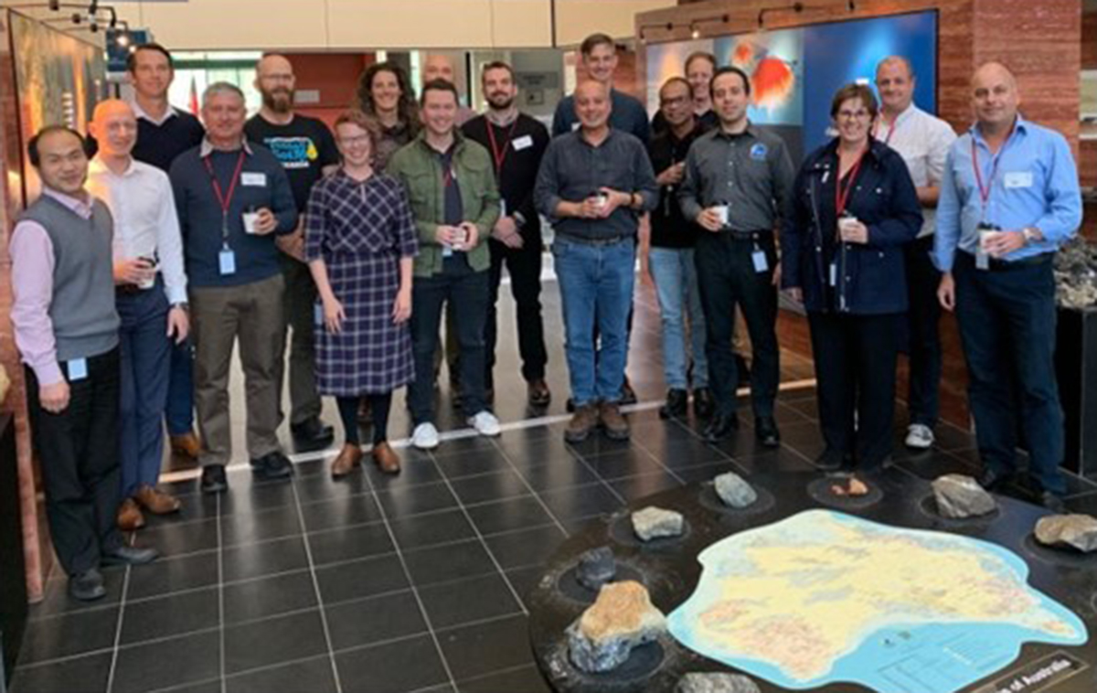
In June 2019, researchers from the University of New Hampshire’s Center for Coastal and Ocean Mapping (UNH CCOM) and the United States of America National Oceanic and Atmospheric Administration’s Office of Coast Survey (NOAA OCS) touched down in Canberra, the capital of Australia, to begin an open-source quality assurance project with AusSeabed1, Australia’s National Seabed Mapping program led by Geoscience Australia. Two years later, the fruits of the collaborative effort have ripened and QAX (Quality Assurance Checks) version 1.0 has been officially released.
QAX is an innovative software tool with the potential to improve the quality and reliability of multibeam echosounder seabed mapping data. The QAX tool finds its origins in the UNH CCOM and NOAA OCS jointly developed HydrOffice framework and the concepts behind it can be extended to other data types. It reduces the time and manual effort associated with analysing ocean mapping data by providing automated quality assurance (QA) processes and standardised QA outputs. “Ocean mapping is an expensive mission; however, the results are infinitely valuable to marine transportation and environmental stewardship of the world's oceans. Once data has been acquired, regardless of who acquired it, automated tools are vital in conducting efficient and effective quality control of ocean mapping data. We are excited to see how QAX will improve the efficiency and efficacy of data quality review moving forward,” said Lorraine Robidoux, Acting Chief of NOAA OCS' Hydrographic Surveys Division.
“The experience of our North American colleagues brought Geoscience Australia, FrontierSI, the Commonwealth Scientific and Industrial Research Organisation and the Australian Hydrographic Office (as AusSeabed collaborators) rapidly up to speed with the leading quality assurance tools that UNH CCOM and NOAA OCS had pioneered. Through the QAX project we were able to lead the extension of these tools to offer a wider benefit to the seabed mapping community,” said Kim Picard, Geoscience Australia lead and AusSeabed Steering Committee Chair.
QAX version 1.0 currently includes three separate plug-ins, or “checks.” The MATE plug-in reviews unprocessed raw multi-beam data for issues relating to data acquisition; the MBESGC plug-in checks gridded multi-beam data against International Hydrographic Organisation or Australian Hydrographic Office standards, and the FinderGC tool identifies outliers and missing data in gridded multi-beam data. Anyone can develop and integrate a new check tool for the QAX interface and discussions have already begun with NOAA and CCOM to add a plug-in interface to directly interact with HydrOffice QC Tools. “The successful experience of QC Tools shows that the application of automated flaw-detection algorithms does not only boost the data quality, but also significantly reduces the latency between collection and public release of new survey data. With QAX, we envision further streamlining of ocean mapping workflows,” said Giuseppe Masetti, UNH CCOM researcher.
The collaboration between AusSeabed, UNH CCOM and NOAA OCS will continue refining the QAX tool and functionality into the future and sets the stage for more partnerships between the United States of America and Australia in the seabed mapping realm.
“It has been wonderful to see a collaboration that started between NOAA and UNH CCOM grow to become a truly international partnership. The problems we face in completely mapping the world’s seafloor are immense, and only through shared efforts like this do we have a chance to complete the task” said Larry Mayer, UNH CCOM Director.
1 The AusSeabed program is an Australian collaborative initiative led by Geoscience Australia, but operated by Commonwealth, State and Territory entities, universities and industry. AusSeabed provides an open collaboration space where data creators and users can better connect to develop initiatives and products that will improve the quality, discoverability and accessibility of seabed mapping data.
