Join our Community
About
Seabed Mapping
Governance
Collaborators
Our Community
Related Programs
Frequently Asked Questions
Steering Committee Elections
Data Portal
Bathymetry Coverage
Publication Schedule
Product Specifications
Data Submission
Survey Coordination Tool
Quality Assurance Tool
Quality Assurance Tool
Training Material
Feedback Form
GMRT-AusSeabed
Resources
Seabed geomorphology scheme and tools
News
Newsletters
Relevant Guidelines
Record Templates
Publications & Presentations
Workshops and Presentations
System Capability Catalogue
Systems Available
Permit Information
Education
Open Source Repository
Other Tools
Seabed Survey Data Model
VDatum
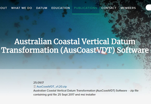
AusCoastVDT
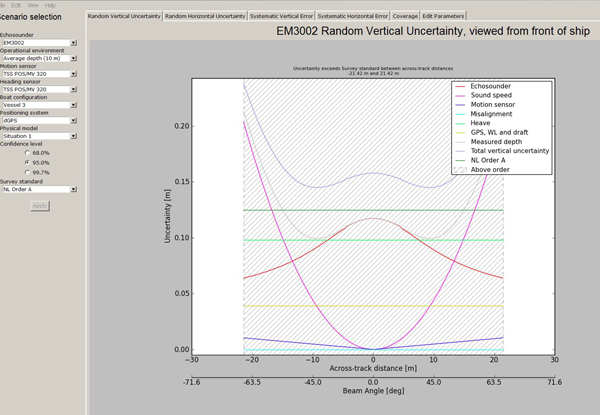
HydrOffice
AMUST
Survey tool Hydrobib
Other Tools
Seabed Survey Data Model
VDatum
AusCoastVDT
HydrOffice
AMUST
Survey tool Hydrobib